
Innovation week: XGRIDS - Georeality
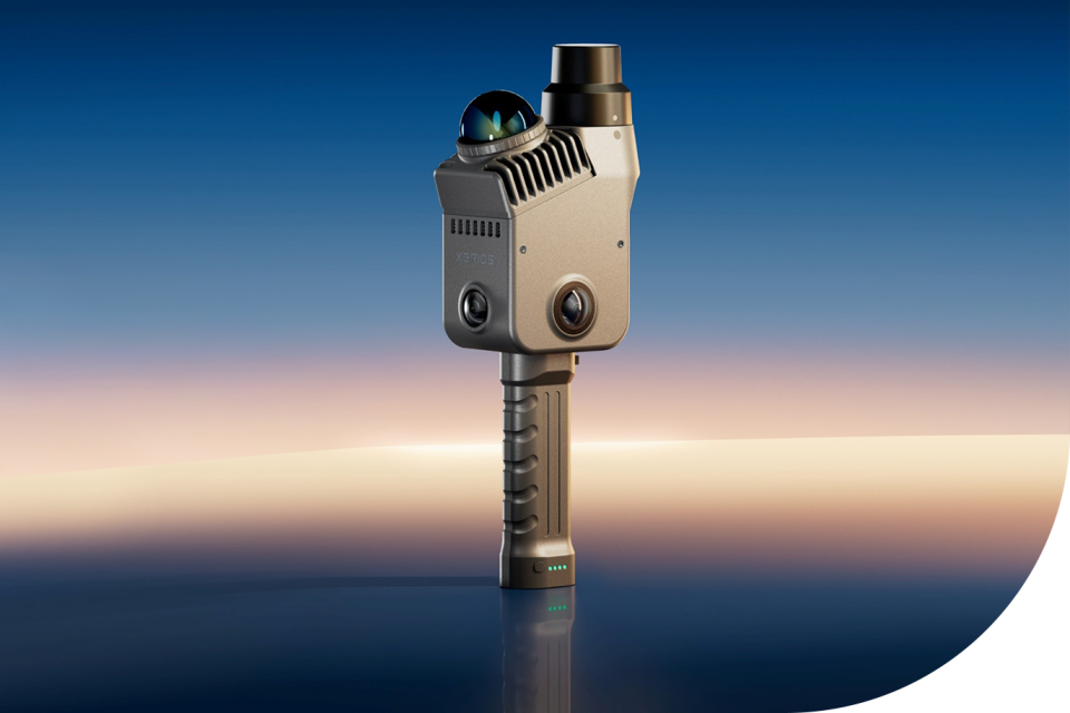
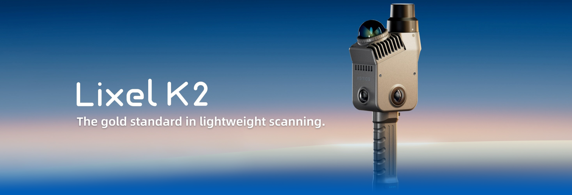
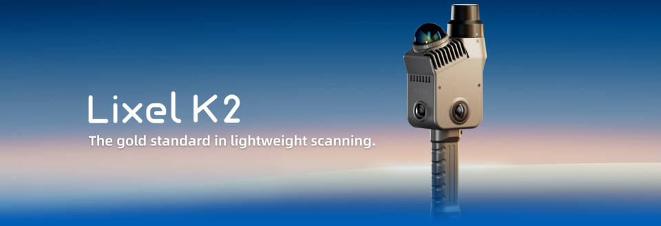
XGRIDS combines cameras and LiDAR in mobile 3D scanners that capture an environment while moving through it. The collected data can then be processed into a detailed digital representation of the real-world environment.
XGRIDS: capturing an environment as a digital 3D model
XGRIDS scanning technology from GeoReality makes it possible to capture physical spaces and environments digitally in 3D. The scanners combine camera imagery with LiDAR to collect information about the shape, distance and appearance of the surroundings while moving through a location. This data can be used to create coloured point clouds and photorealistic 3D representations. The result is a digital version of an existing environment that can be used for applications such as visualisation, design, documentation and communication.
View other references


Let's get in touch
Want to know how we can take your business to the next level? Then get in touch!
Heuvelman stands for:
- Innovative tailor-made audiovisual total solutions
- Reliable and sustainable services
- Experienced and skilled team with a focus on high quality
- Personal support from start to finish
- Flexible in planning and execution
- ISO 27001 certified for rental and sales projects